Sept 2025 UPDATE:
Gravel is medium washboardy in places, advice is to ride slow when descending, large potholes in gravel section can be hidden in the tree shade, so be on the lookout. Climbing the gravel is no problem. Recently rode this on a road bike with 30c tires, no issues.
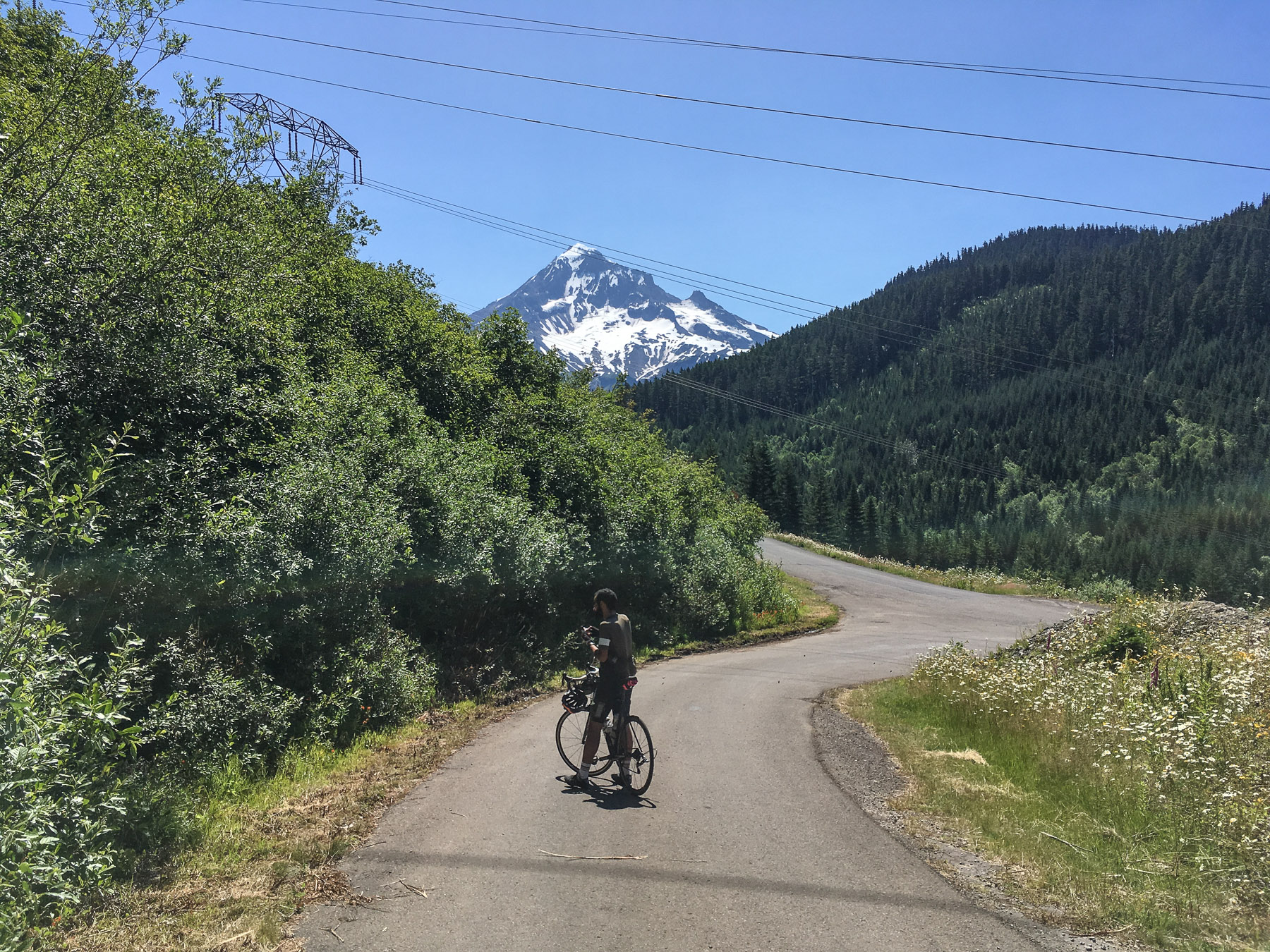
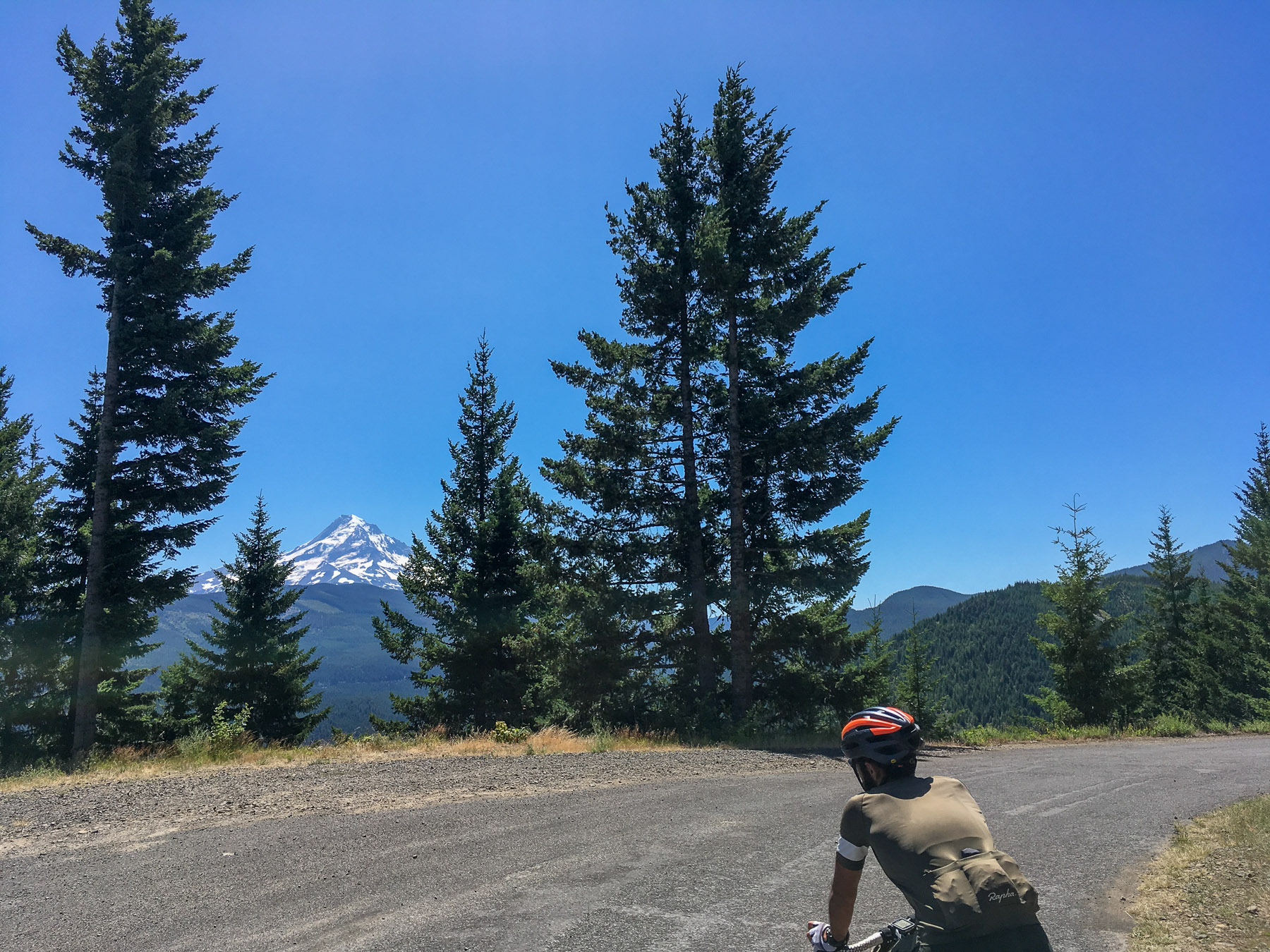
For many years, the Circumnavigate Mount Hood ride has been considered a top choice. There have been a few different versions of the ride due to the versatile roads around Mount Hood. One of these variations includes a ride in the shape of a lollipop, starting and ending at the picturesque Lost Lake Resort. This route eliminates some of the highway riding that is typically part of the traditional Mount Hood ride.
- 72Miles, 7400ft mostly paved
- 14total, 7 out 7 back miles of light gravel on NF1810 just at the top of Lolo Pass.
- Road bike with 25c tires is ok.
- Fast gravel bike is perfect.
Route here : https://ridewithgps.com/routes/30645107
Provisions
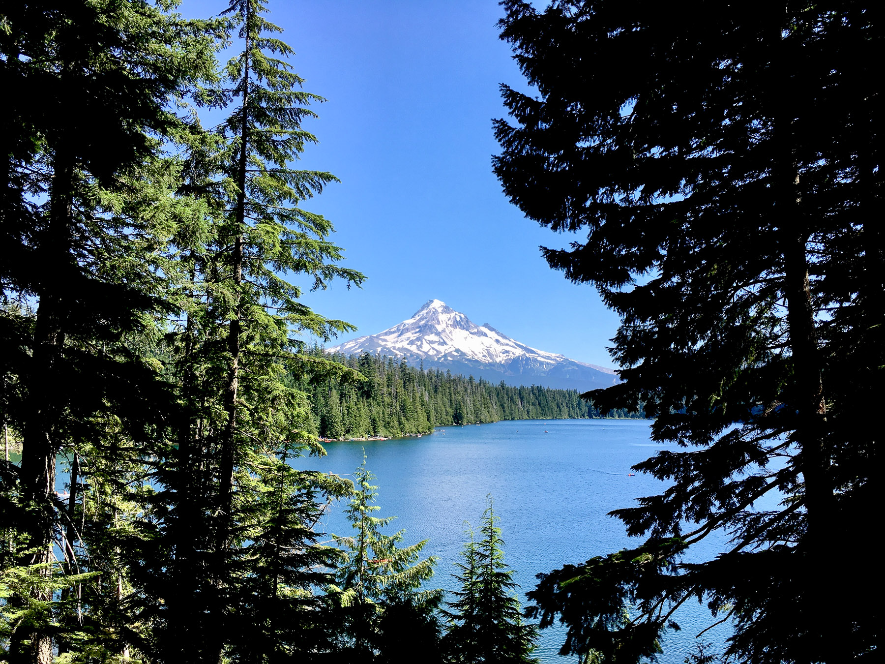
At just over half way (41 miles) is Lost lake Resort. Here is a small store which has food and drink. If you are riding this in the off season its worth checking that the store is open before you head out.
If needed along the way are many streams which can be used for water. (water filtered suggested)


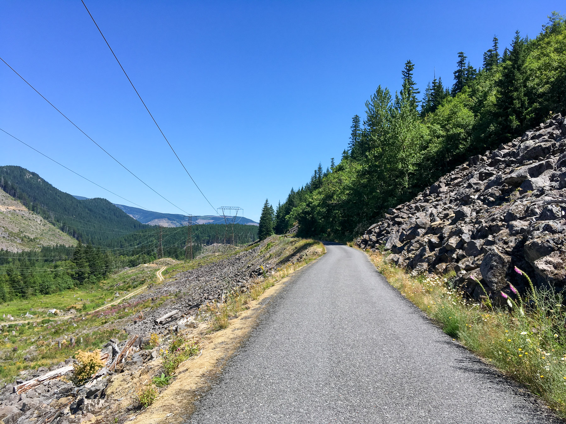

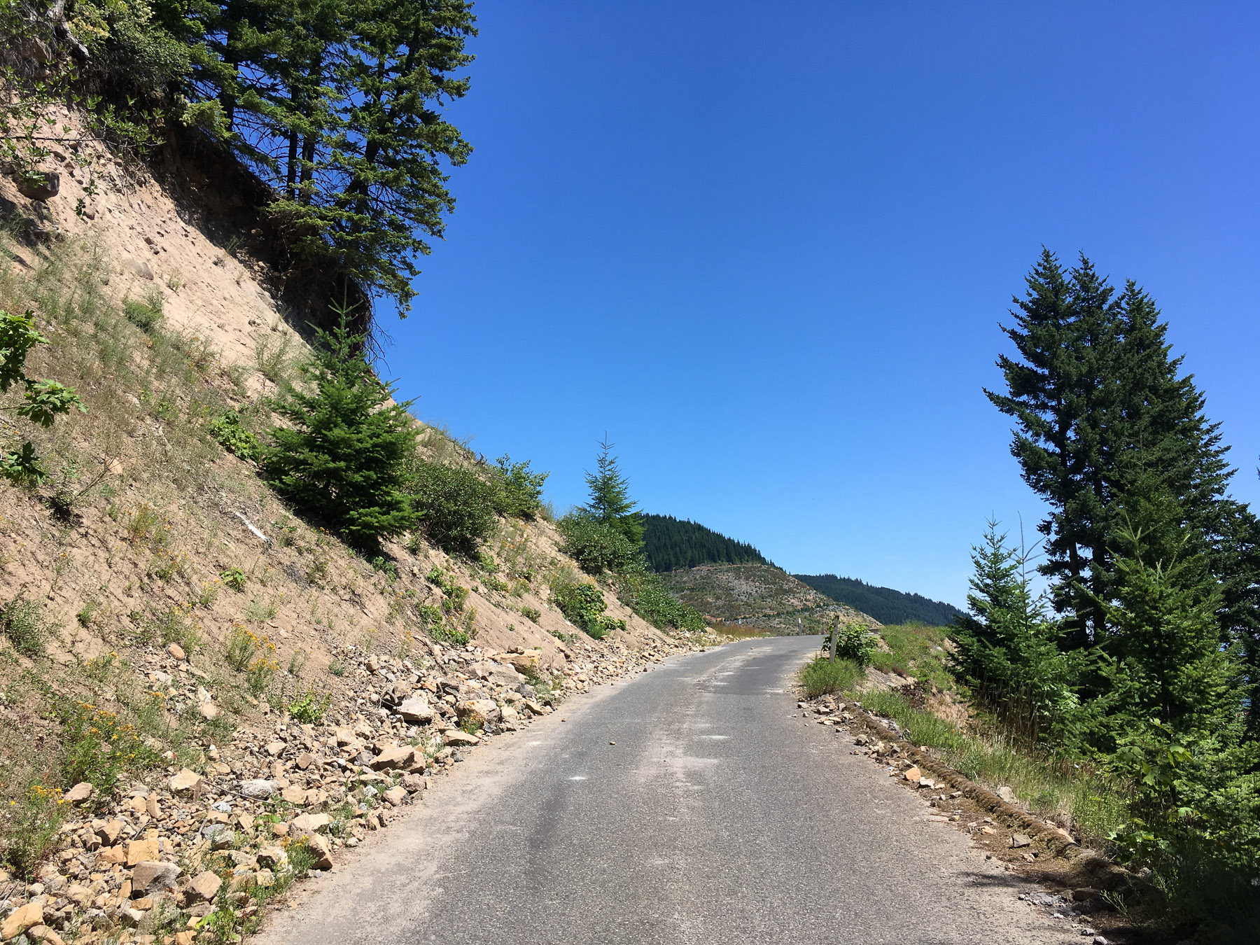
NF13 Section up to Lost Lake
The road NF13 is little travelled by cars. It used to be the main road to Lost Lake before they built Lost Lake Road which is a lot more traffic efficient. An even bigger bonus is the top section of NF13 is barricaded from vehicles because of road erosion. It’s super pretty and winds in the trees. Clearly the best way to go up via bicycle. You could also descend from the resort this way if you liked, however I like the fun , fast descent of Lost Lake road.


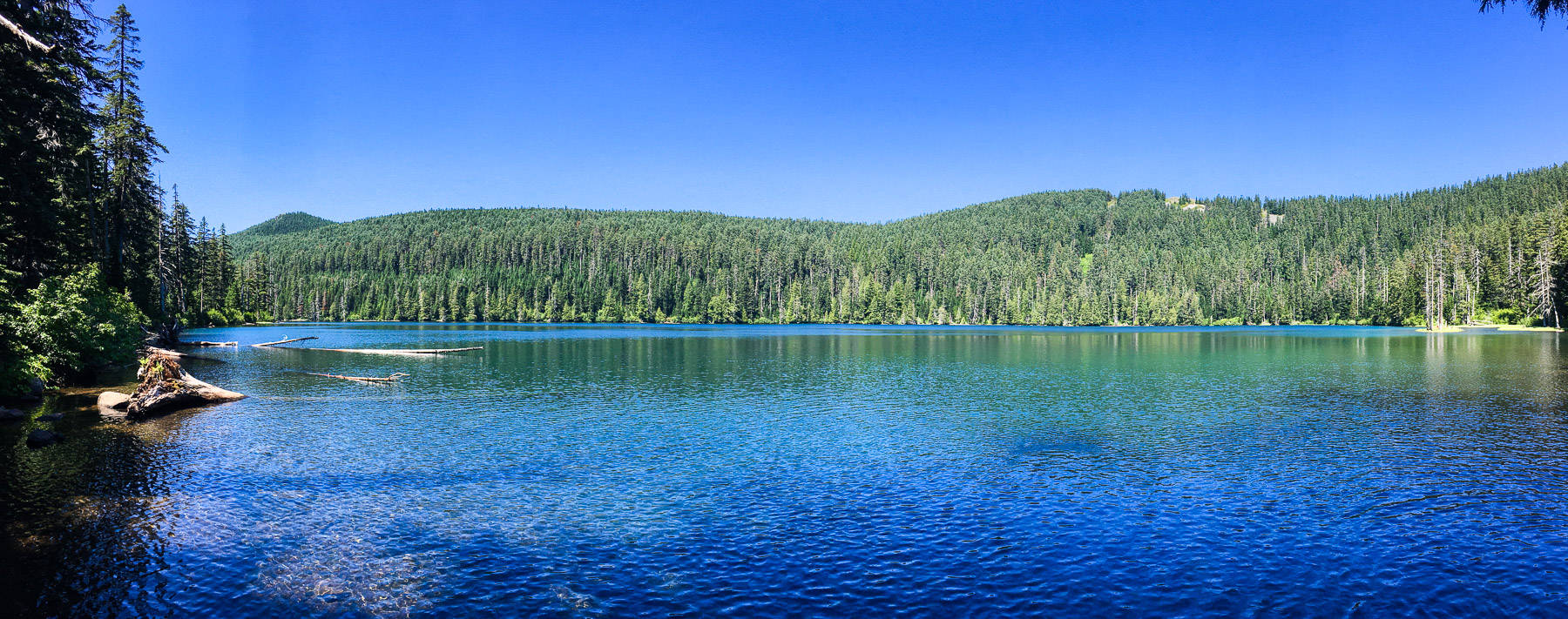
Wahtum Lake Variation
83miles, 9200ft
You can incorporate Wahtum Lake in the overall Lost Lake loop as an out and back detour. Since the amazingly beautiful lake is remote, it is mainly trafficked by through hikers of the Pacific Crest trail, making traffic almost non existent. The surrounding area is hiking trails and there are primitive campsites around the lake. Although there are no direct spectacular views of Mount Hood from up here, on the road up there are some amazing valley cutaways. The lake is recessed in a bowl and when you get to the trail head you will have to walk down quite a few wood dirt stairs to get to lake level. I did this in my cycling shoes, no biggie, but just a warning.
On a very busy mid summer day there was only 7 cars at the trail head. meaning its very quite and peaceful.
Warning the road up is steep and long. 7 miles long and average 6% grade. 2200ft elevation gain) At first this might not seem like a big deal, but when incorporated into the rest of the route it makes for a long ride.
Wahtum Route: https://ridewithgps.com/routes/30608517


- TPU vs. Butyl Tubes: What You Need to Know
- Wahoo Trackr Radar and flashing unit competes with established Garmin Varia for top radar spot
- Crosspoint Gear and Showerspass waterproof knit gloves suck the vapid murk right out of the clouds
- My 2025 Top Indoor Training Accessories for a more enjoyable ride and Better Performance
- Product Review : Maximize Your Cycling with 4iiii (Foureye) Power Meters – Precision 3+ Review
Discover more from Buckyrides
Subscribe to get the latest posts sent to your email.

Leave a Reply