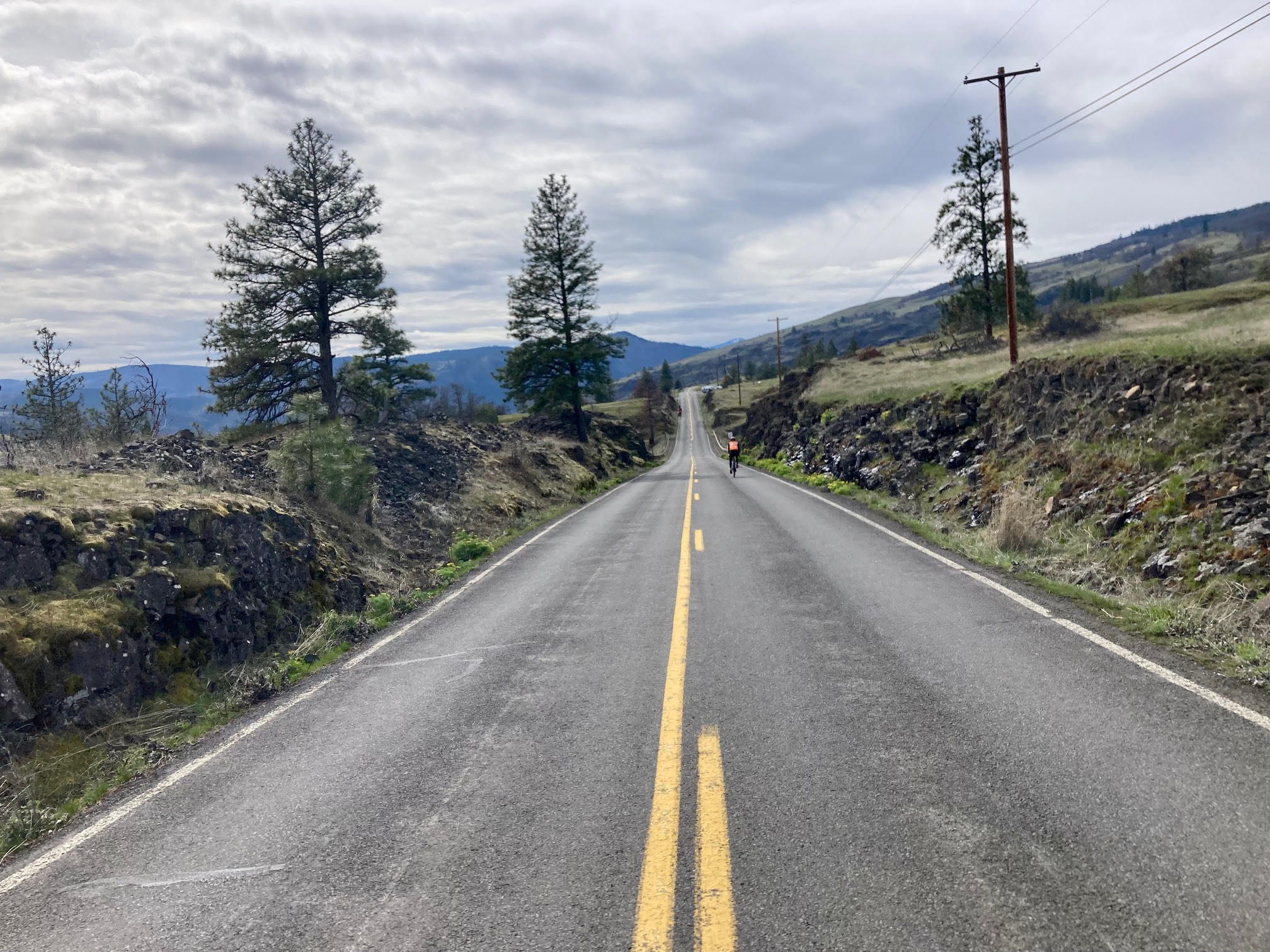
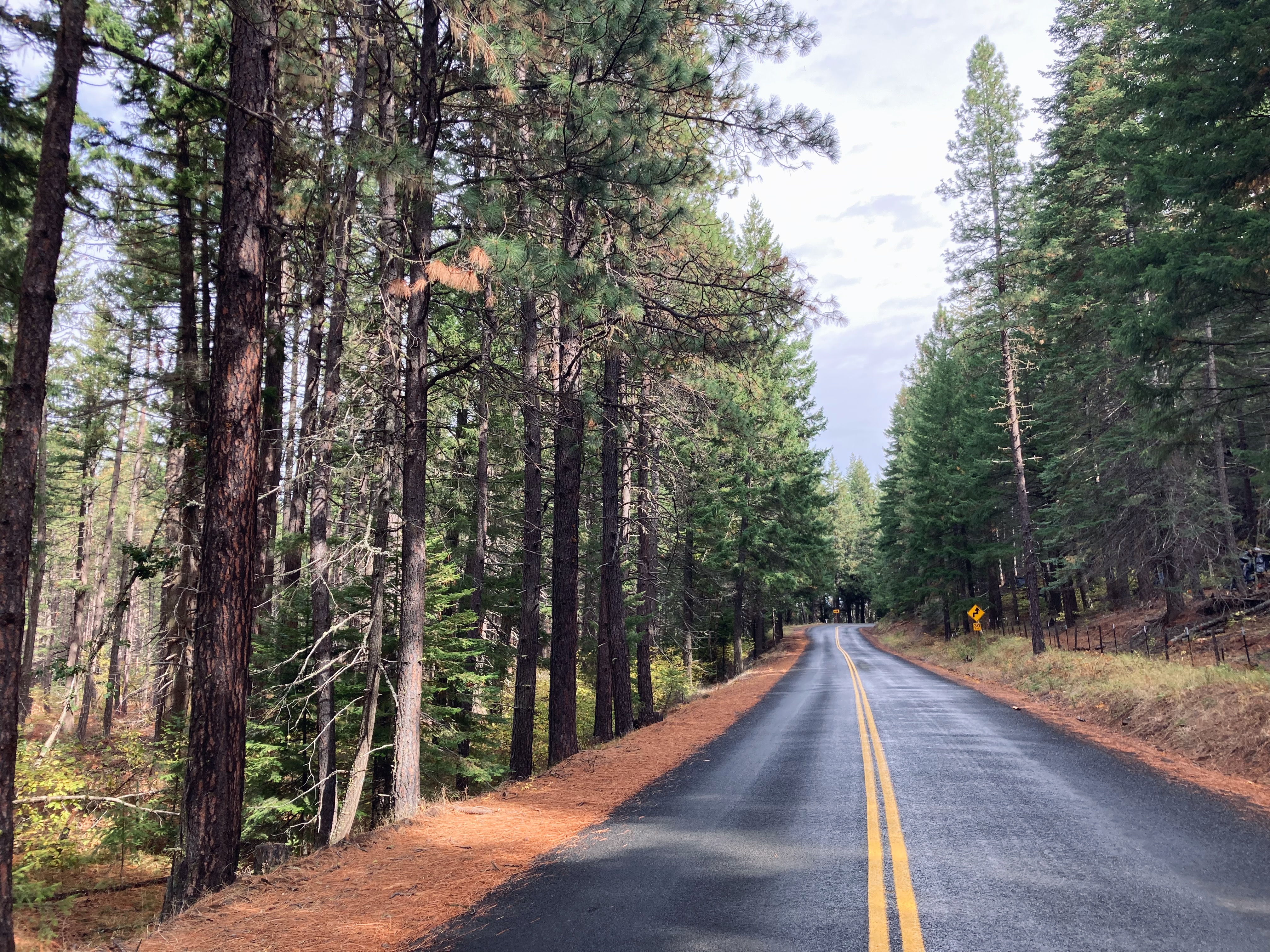
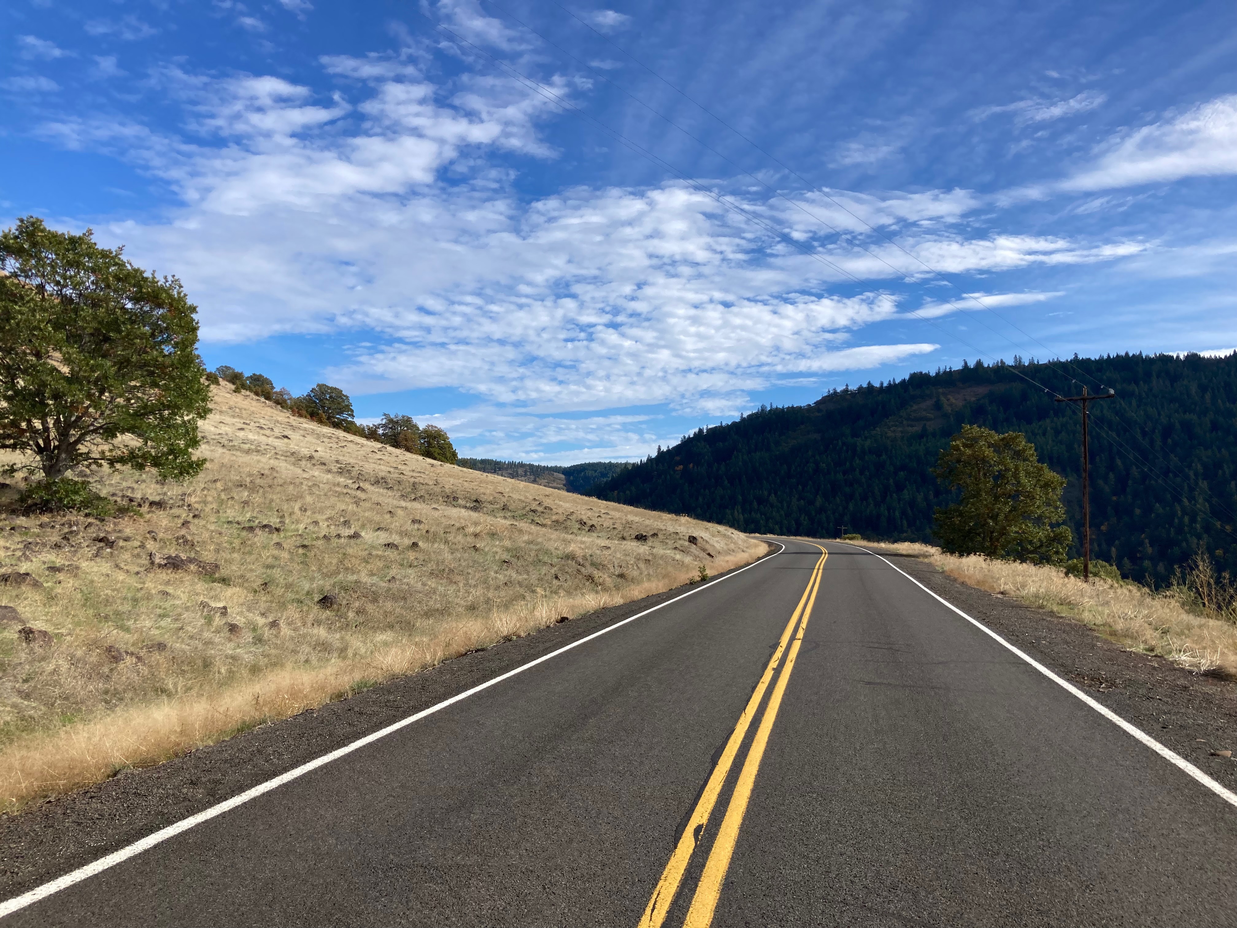
This is a longish bike ride, covering almost 100 miles in Washigton near Trout Lake, Glenwood and Klickitat, with a moderate amount of uphill and downhill. It’s a great choice for the early to middle part of the season. The grades are not steep and there’s only two big climbs which are rewarded by some faster descending..
- 91 Miles (150km) / 5,700ft – Smooth top and broken top tarmac.
HIGHLIGHTS
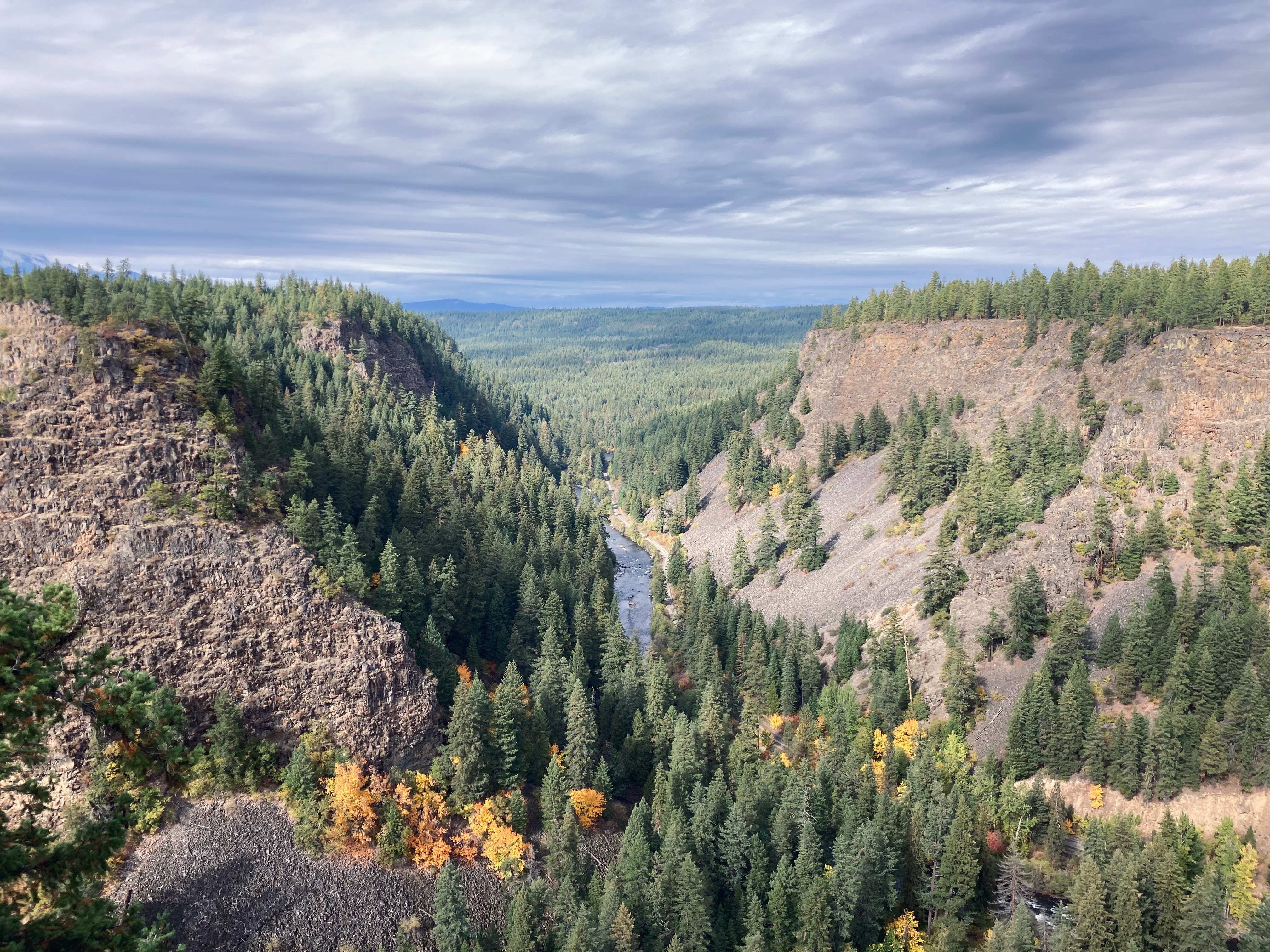
- Several canyon climbs with spectacular views through wildlife area.
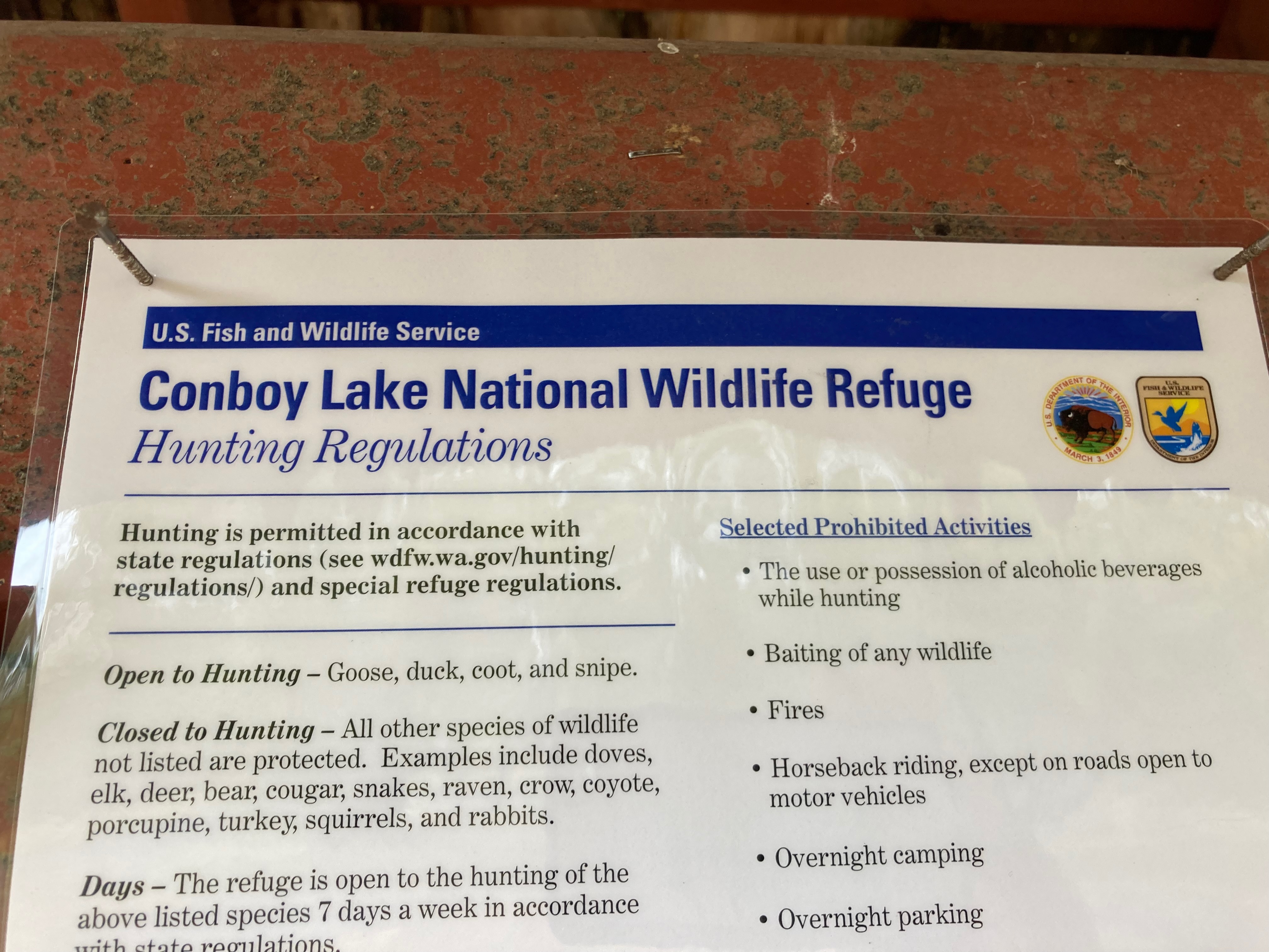
- Climb through a wildlife preserve with Elk – Conboy Lake National Wildlife Refuge
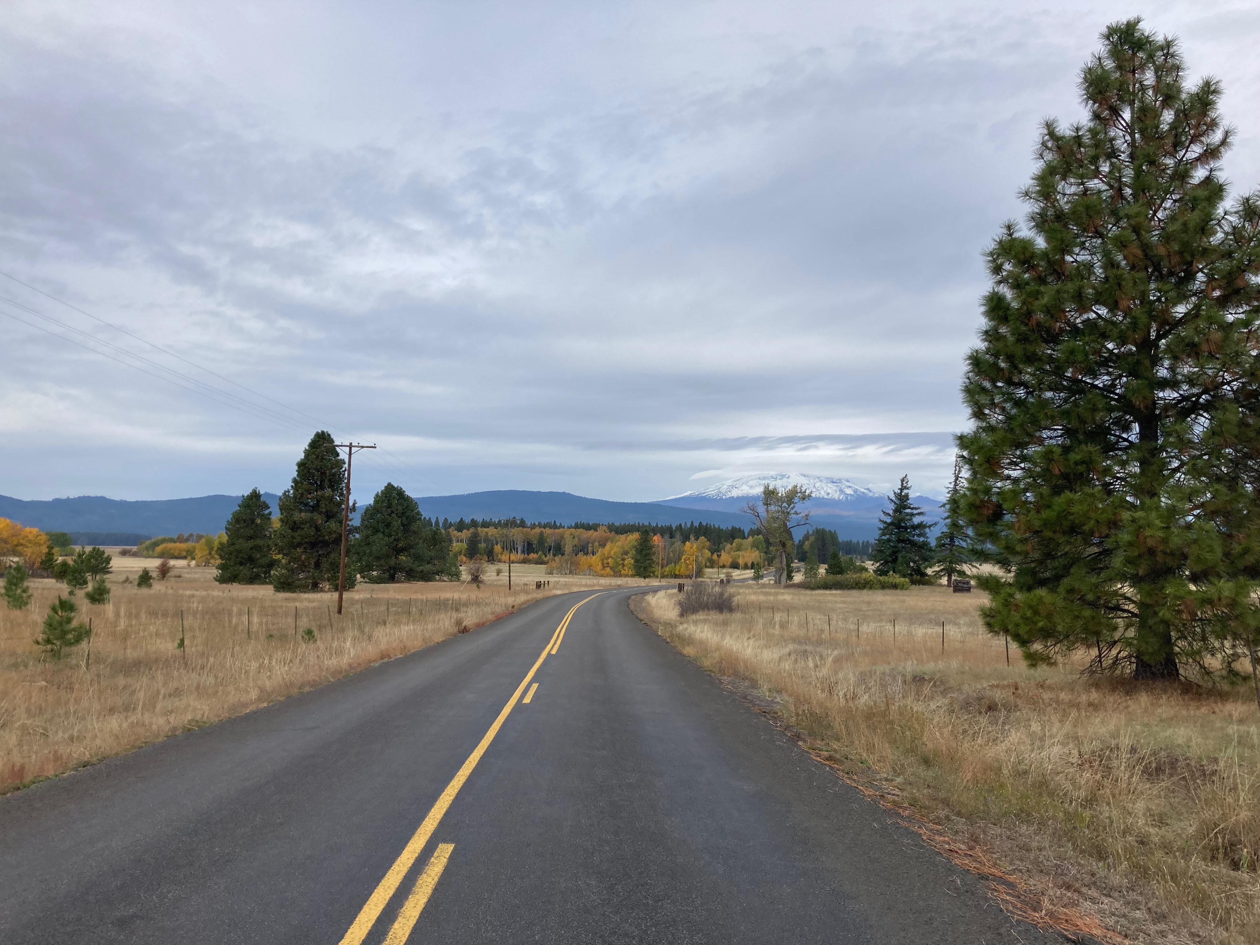
- Killer views of Mt. Adams
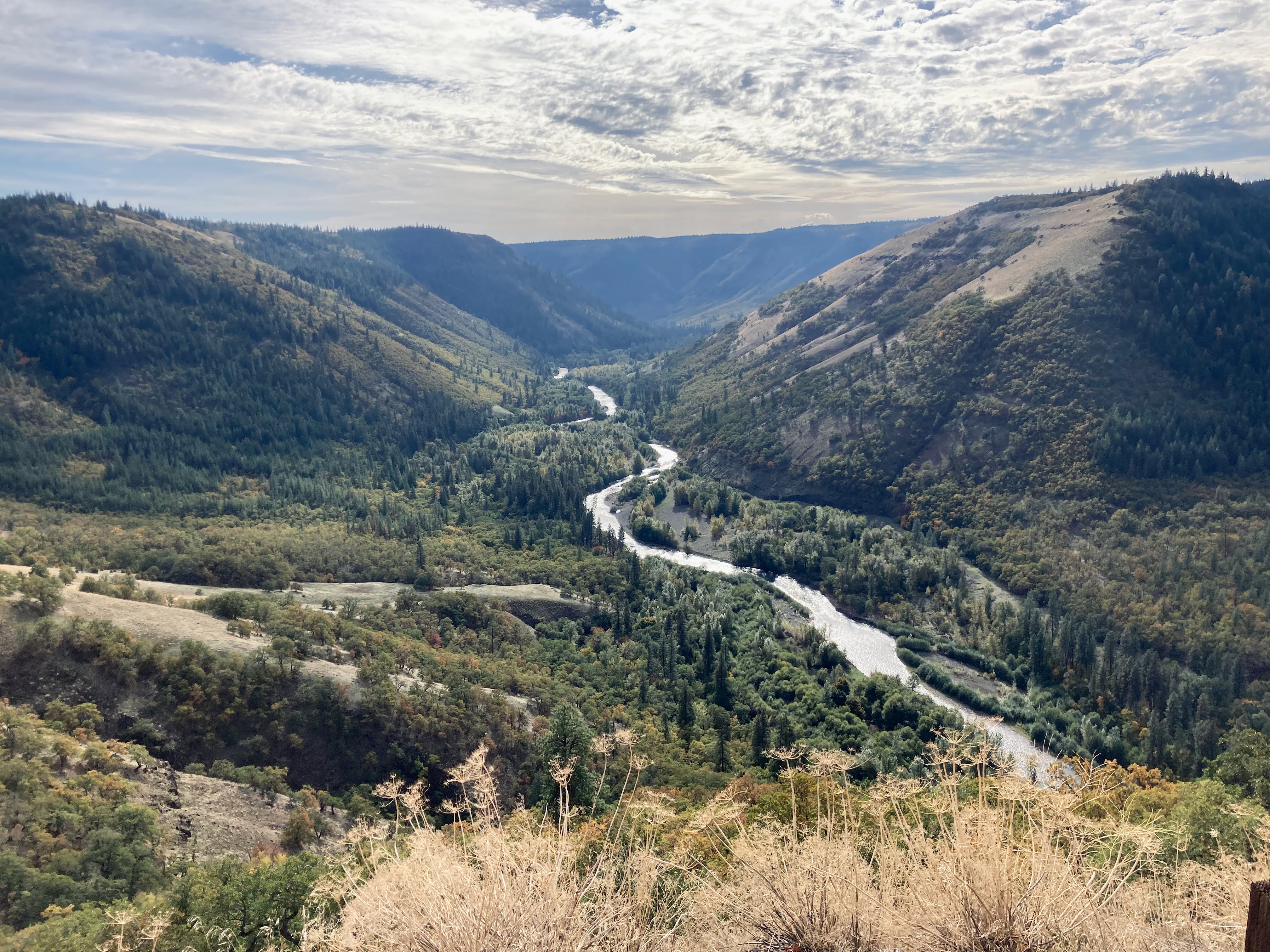
- View points out onto winding Klickitat river.
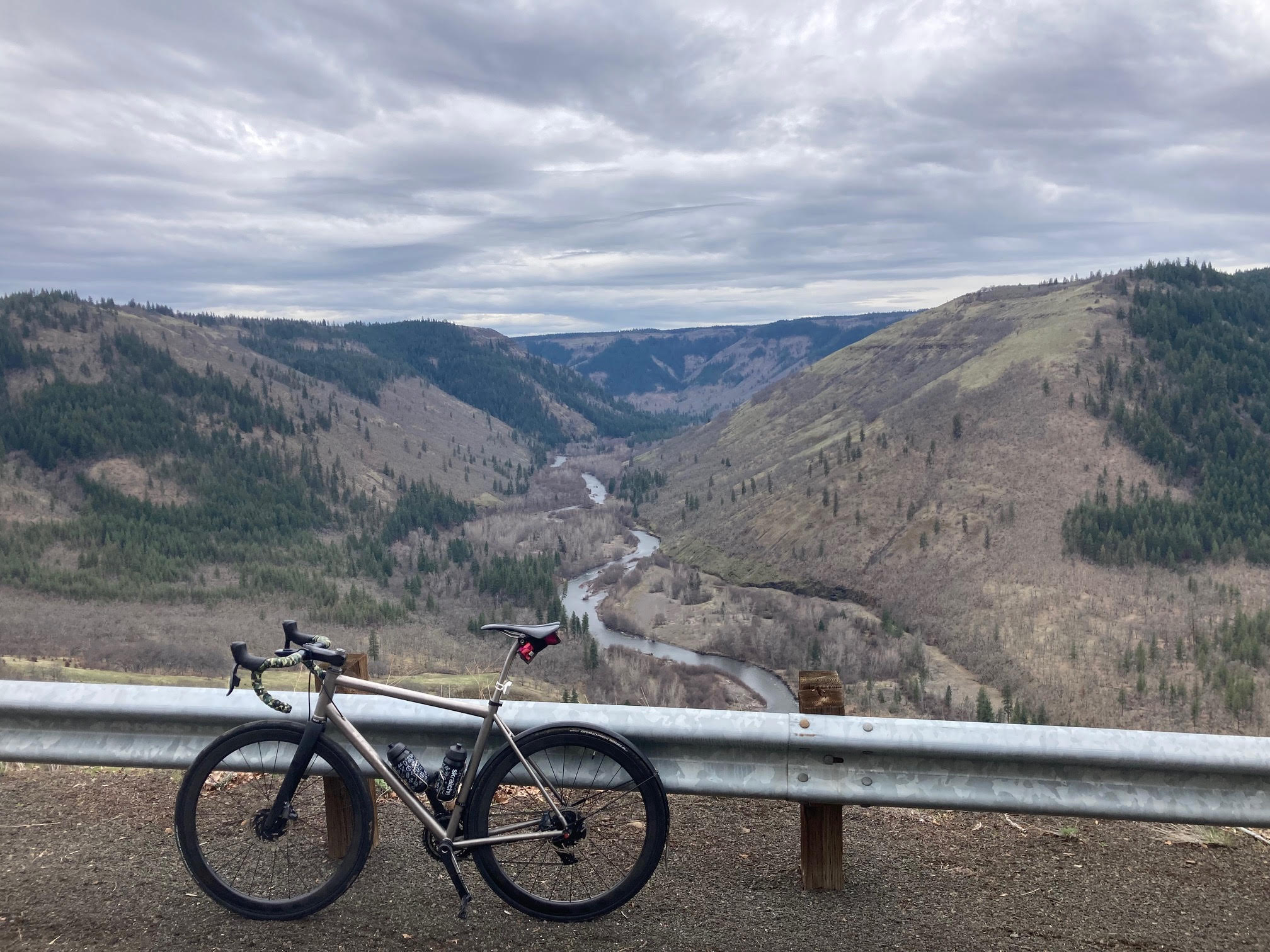
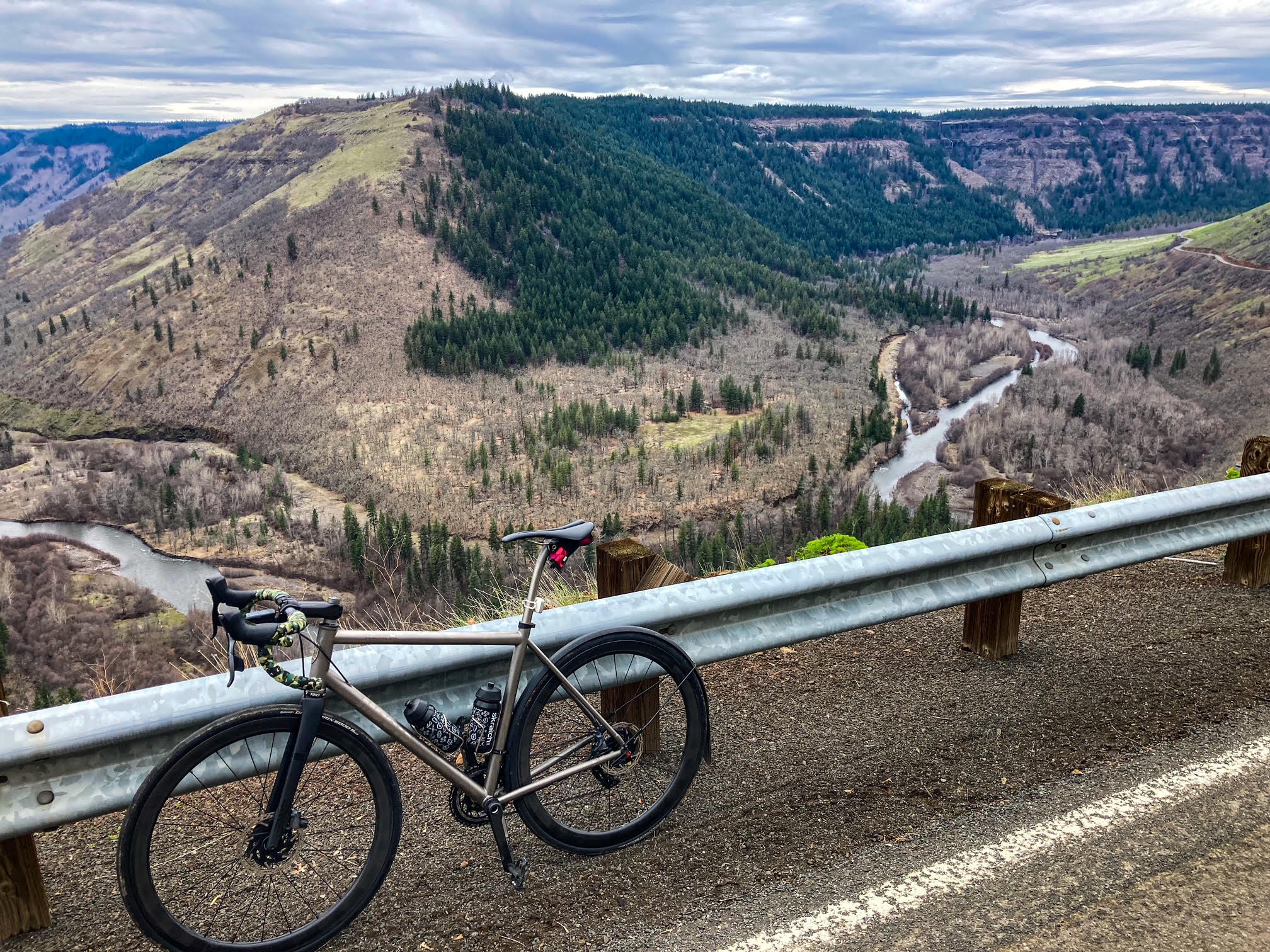
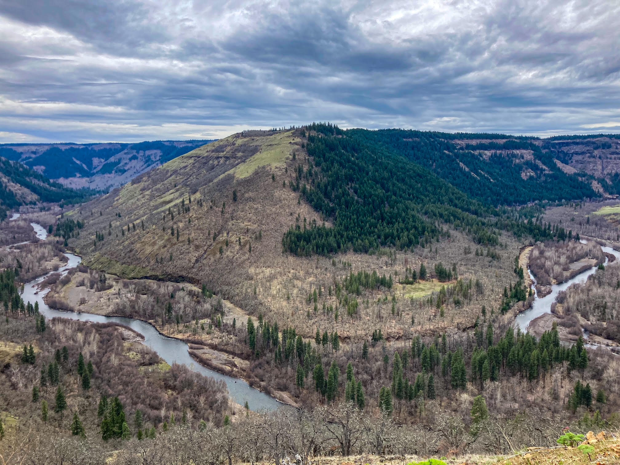
- Canyon descent through Klickitat
- 2 full services (56km Glenwood, 113km Klickitat), 1 additional water stop.(135km)
ROUTE: https://ridewithgps.com/routes/43473284
Overview
The route starts just outside of White Salmon, WA and follows a large clockwise loop. The most exciting moments include riding through a protected wildlife area, heading towards Mount St. Helens where you might spot Elk and have an awesome view of the mountain. Throw in some scenic uphill sections and breathtaking canyons.
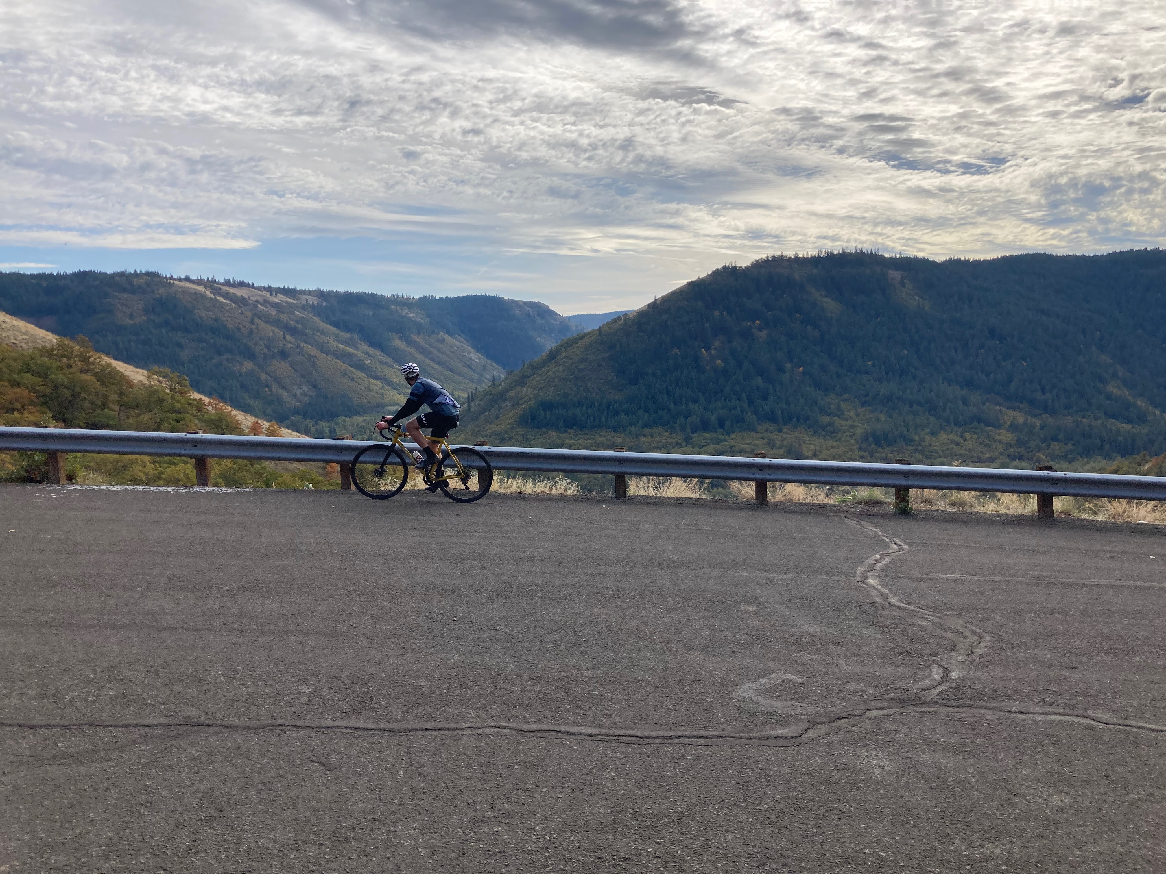
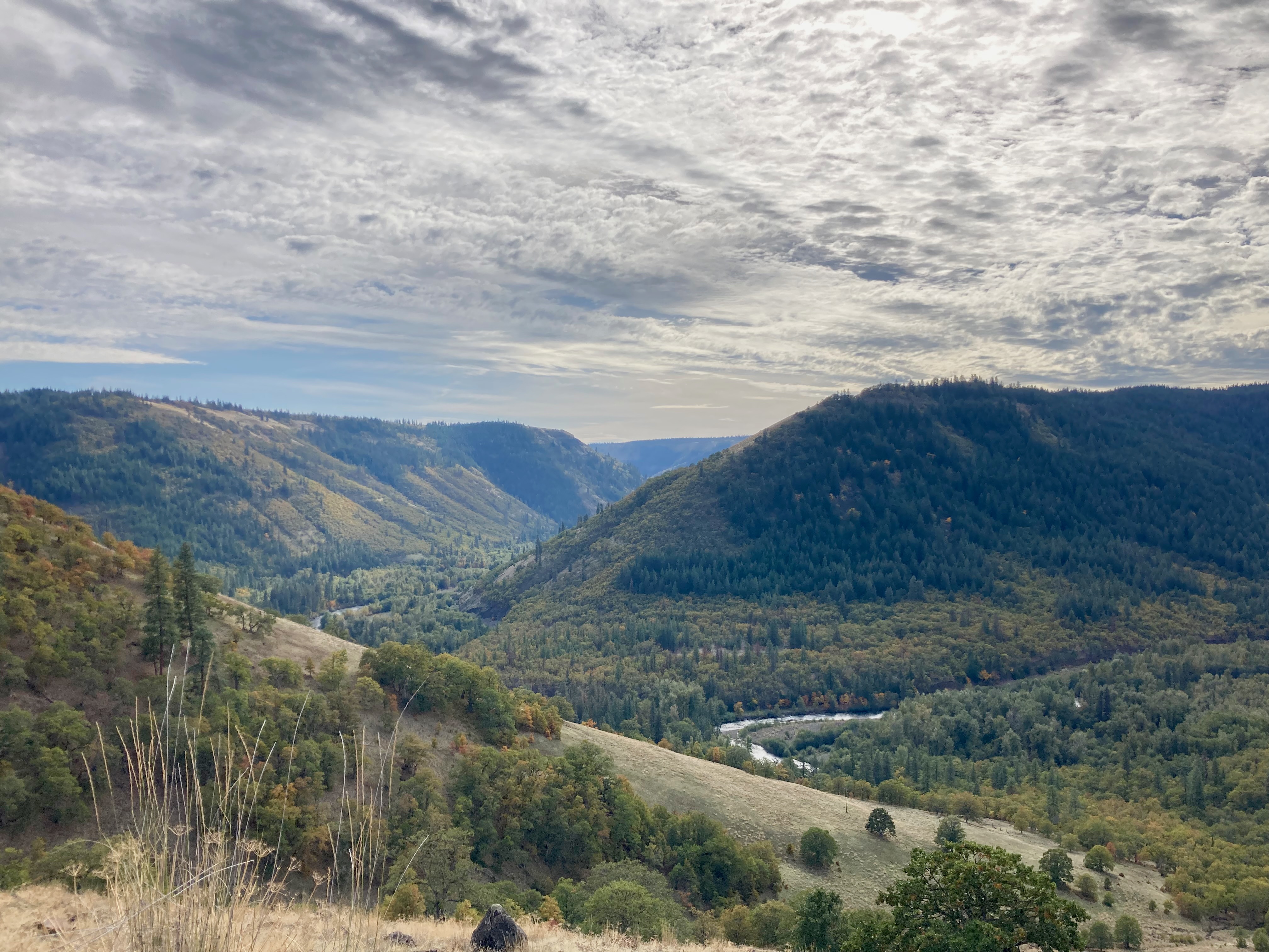
After a stop at the market in Glenwood you traverse on the edge of a the Klickitat River Canyon , there is the River Road Overlook at about Mile 42, that’s worth stopping at.
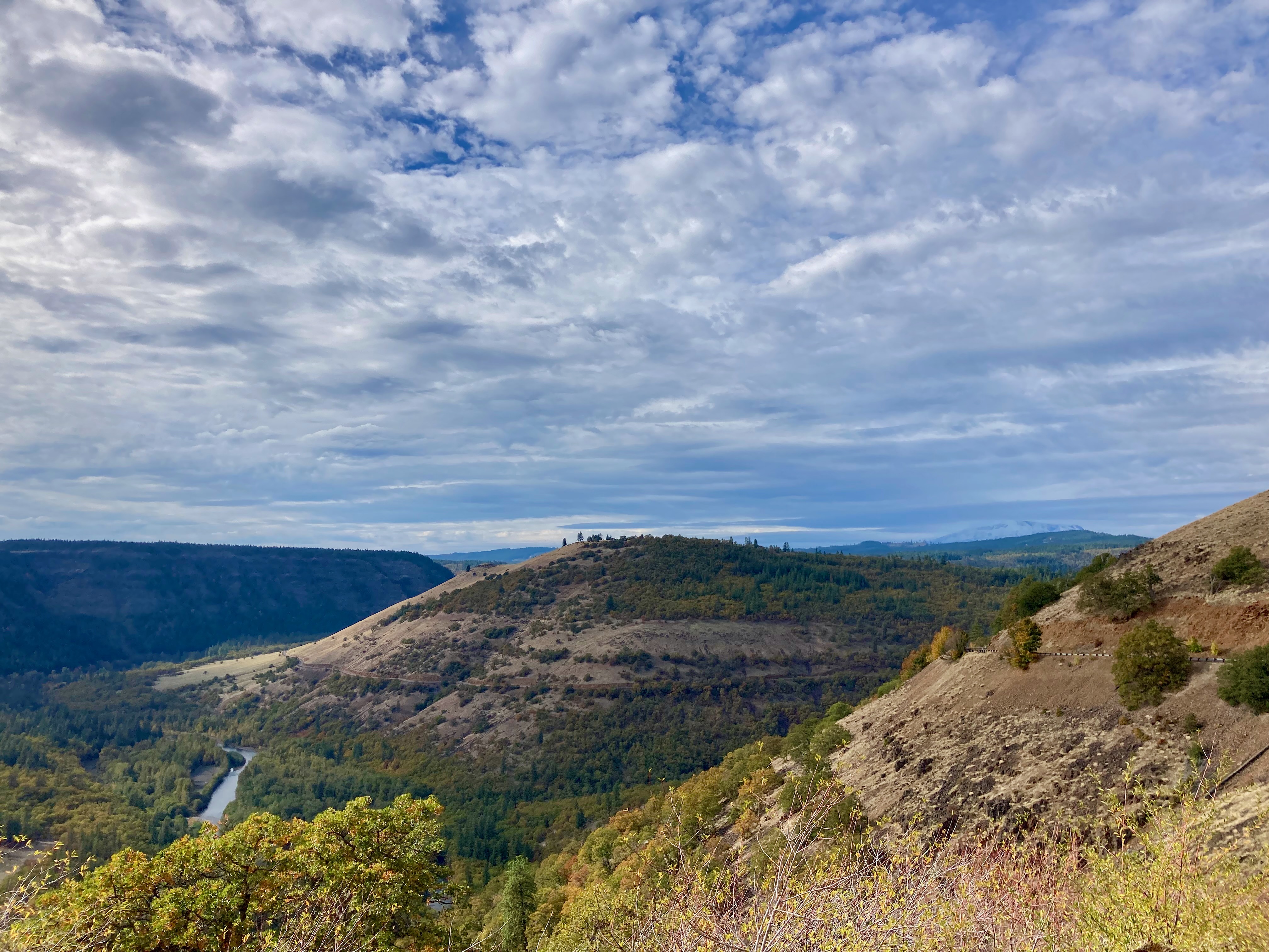
Shortly after that experience, prepare yourself for an exhilarating climb out of Soda Springs. Breathtaking views of the canyon and the Klickitat River below, which is not only a wildlife area but also a sight to behold. As you ascend, be mesmerized by the serpentine path of the river, gracefully meandering and ever-changing its course. It is a truly awe-inspiring journey that promises to ignite your senses.
Then, enjoying a thrilling descent on a winding road through Klickitat Canyon, returning you to Lyle, Washington.
Services
As far as pacing for food and services, its great. There is a corner store in a town called Glenwood at around mile 36 and a couple of shops to choose from around mile 70 in the town of Klickitat. It’s plenty and you never feel like you are missing a food or water stop.

https://ridewithgps.com/routes/43473284
More Photos
We rode this in the middle of April, the weather was mild and a little cooler but not cold. Traffic was very low.
We chose to start this ride at Cayote Wall Trailhead, there is parking there and a bathroom and is a good location to split the milage difference on the return portion.
Note in summer , this trail head is very busy with Hikers. Another place to start would be Lyle (to the East and there’s trail parking) or Bingen (the town to the West). Either way you would have to ride 3miles of not so great highway ish things, which I think would be better done in the morning, so my second start choice would be Lyle.
This ride is a definite keeper. And has all the aspects that I think a a good roadie should have.
Notes and updates.
-Check the wind direction before heading out – winds can be fierce late summer.
-On a bad day the first 5 miles can be difficult. I have ridden this at good and bad times. I tried many ways to route around this but, its best to get these miles done in the beginning vs the end.
- TPU vs. Butyl Tubes: What You Need to Know
- Wahoo Trackr Radar and flashing unit competes with established Garmin Varia for top radar spot
- Crosspoint Gear and Showerspass waterproof knit gloves suck the vapid murk right out of the clouds
- My 2025 Top Indoor Training Accessories for a more enjoyable ride and Better Performance
- Product Review : Maximize Your Cycling with 4iiii (Foureye) Power Meters – Precision 3+ Review
Discover more from Buckyrides
Subscribe to get the latest posts sent to your email.

Leave a Reply