Almost an institutional ride now, this being my 4th time. This ride has mind blowing landscape and killer mountain views of Mt. St Helens, WA. With the added bonus that its 100% traffic free delight (right now).
Mileage: 81 Miles
Elevation Gain 8,000ft
Elevation profile – Out and back. with large amounts of climbing.
Terrain: 100% road
Ride Route: here Ridewithgps
Services: None, recommendations in text below
Bicycle: Road or touring
NF25 and 99 are closed winters, gated and generally open up to motor vehicles in early July. This translates into 81miles of car free enjoyment but can also be ridden in the summer. NF 25 is a tree lined beautiful road that twists it’s way through the Gifford Pinchot National forest up to the first viewpoint of Mt. St Helen’s. The visual rewards come early at mile 15 with a great view of St Helens, from there a mix of descending and climbing the real fun comes when you break tree line on NF99 and are exposed to the dramatic rocky, wind-scoured landscape and fantastic views of St. Helens, Mt, Hood, Adams and Rainier sometimes. The top section of NF99 is rolling, twisty and a visual delight. The lower section is a bit of a climb from 2800ft to 4,000ft, a nice climb.
You can leave your car at the Pine Creek Information Center to start. Here are bathrooms but no other facilities. (An alternative route is to start in Randle Washington and head South on 25 (instead of North). The road from Randle will probably be open for traffic, but NF99 will still be gated and closed
TIPS
Since services are close to non-existent, and also depending on when you ride, the roads could be closed, you have to be prepared.
Road Status: Check NF99 status Here . Check NF25 status here
Food – Take the food you need, see below for drop bag details.
Tools – During the times when the road is closed for traffic there can be debris on the road and light rock debris especially at the top of Windy Ridge. Some of these rocks can be sharp – worst case they can slice your tyre- make sure you take tyre boots and the rest of the puncture fix gear you need,
Hydration – In moderate temperatures, I have ridden this with 3 large water bottles, I would say I am an efficient person. In hotter conditions, I carry a musette bag with 2-3 extra bottles in it and hide them under trees at the marked point on the gps map – about 25 miles in, where there is a snow park. This is great to ensure 2 bottles to the top of Windy Ridge then upon return you have another 2 for the way back. If you leave food bars here, make sure they are fully sealed.
UPDATE 2023: of recent years I have also found that a nice stop and a way to get fresh cold water is to carry a water filter. Iron Creek Falls is a beautiful place, easy to walk down to and easy to filter from, its about 1/2 a mile off the route very close to the bottom of NF99.
Also another hydration stop is Norway Pass from a manual ground pump.
UPDATE : NORWAY PASS : As of July 2023 the water source at Norway Pass has been closed off. If you have more recent info, please let me know.
There are springs / rivers that run beneath the roads, most are not accessible, they are far down and on sharp rocky descents. If you go at a time when there has been a lot of snow, you will find quite a small water falls along NF99 that you can filter from.
 From the first viewpoint at mile 15


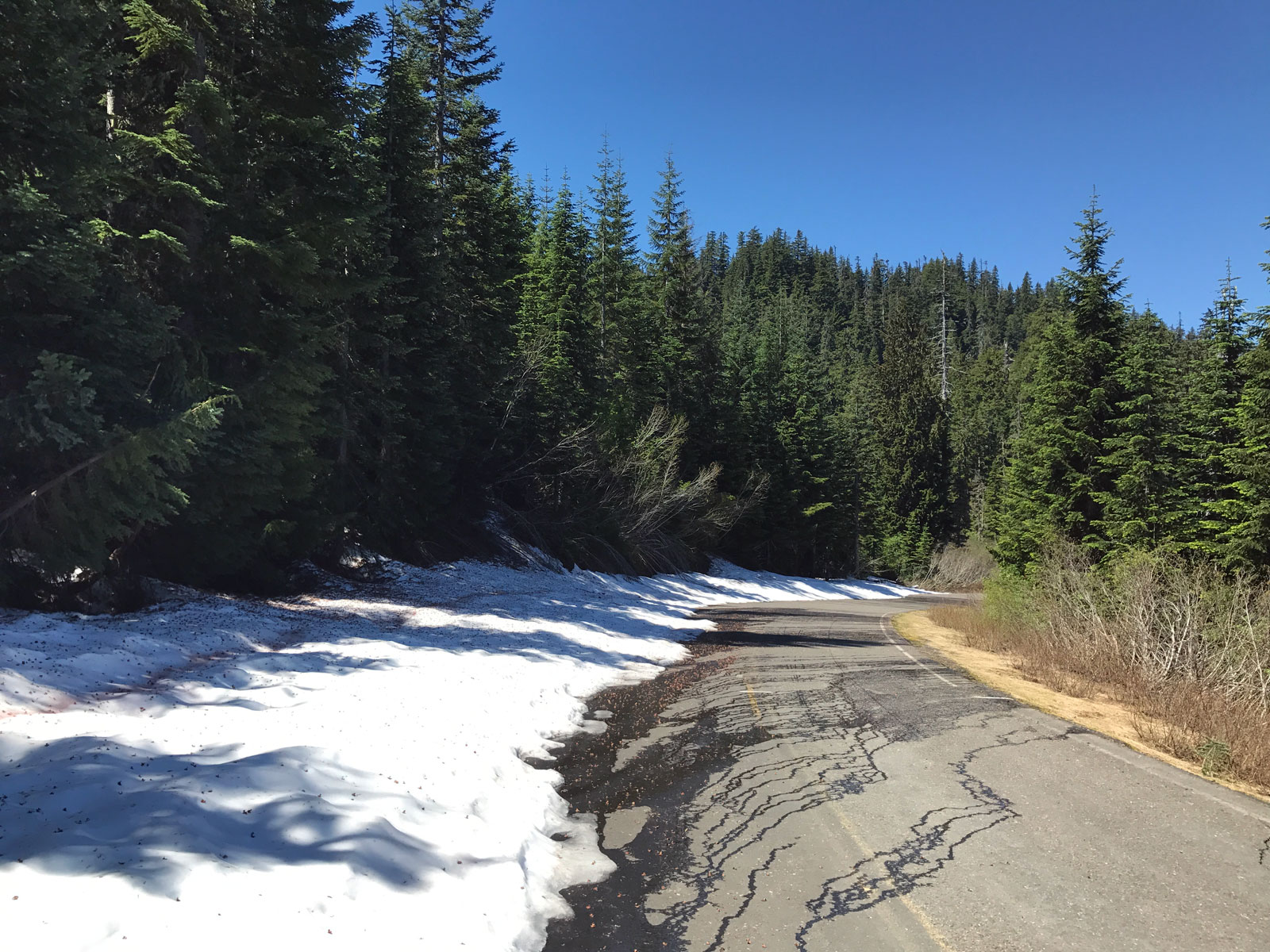
A little bit of snow on NF25


Cool Waterfall


Spirit Lake


Mt. Hood in the background there
Discover more from Buckyrides
Subscribe to get the latest posts sent to your email.
Nice! Is going to be on the Bucky list this summer.
Another “Buckyride” that I checked off my list. I did this one last week and it is absolutely a must ride. Nothing to add to the description, it is accurate and the views are stunning. Think about your supplies though as there is absolutely nothing, which can be hard on a warmer day. There is a lot of climbing to do… thanks again for sharing this ride!
Philippe
Hey super, I love that ride. I thought I mentioned pretty heavily about supplies though?… there a couple of water stops, as long as you make sure you have food for 70miles you will be fine.
The road 25 car-free ride does not work. The road is never gated allowing cars to drive as far as they dare, snow or no snow. The road is, however, designated as closed which means the snow-free sections will have debris/trees/garbage that will never be cleaned up until at least the road officially opens.