Vernonia Century – The 115mile Portland, Timber, Vernonia, Scappoose classic
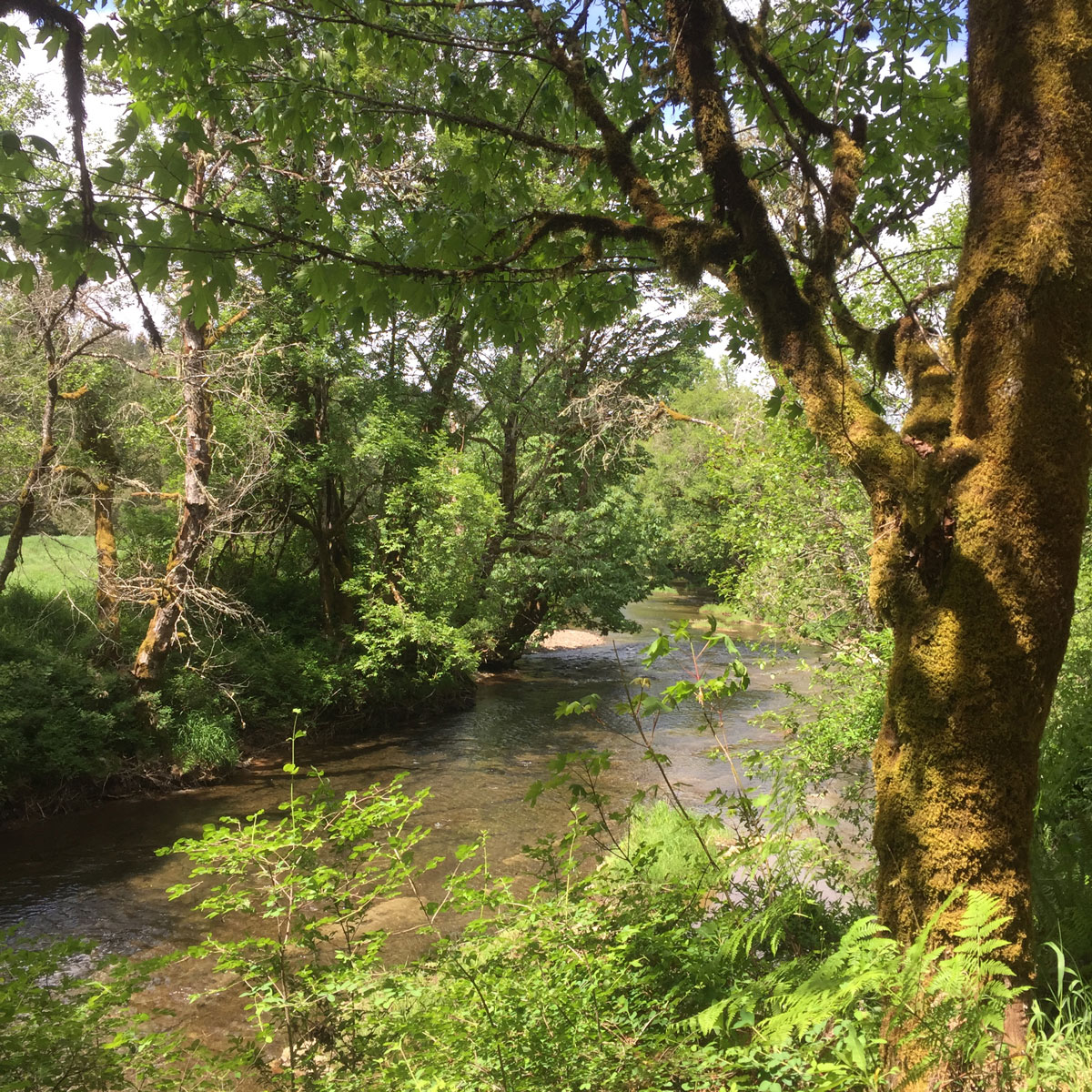
This is one of those rides; a staple or a “classic” of the area. On the longer side, but a perfect mid to late season ride when fitness is high. The Vernonia Century has well paced climbs with 6000ft over 115miles, provides some good ups, some nice descents and flats. With a mixture of amazing Oregon scenery , food / water stops in the right places routing through multiple small unique Oregon towns and Oh, and the deal sealer.. you can ride it from your door.
Mileage: 117 Miles
Elevation 6,000ft
Terrain: Road
Ride Route: Ride with GPS Map here
Bicycle: Road bike
I found this ride 7 years ago and have ridden it at least once every year, some years 2 or 3 times. It’s easy to follow and hard to get lost. It has a few challenging climbs and the last 15miles are flat, dull and efficient in a refreshing end to a long ride sort of way, no stupid large climbs at the end.
The route is a big loop and can be ridden either direction, I like the clockwise direction the best, starts with a climb and because it’s early when you have to start the ride, the climb is a welcomed warmer.


Food Stops, Services and Points of Interest (Heading clockwise route)
North Plains (mile 25)
After experiencing Skyline rd the small town creeps up fast and is just North of Hillsboro. It’s pretty agricultural and has a small market store if you need it, you probably won’t as it’s at mile 25. But it’s good to know it is there.
Hillside (mile 38)
After crossing Hwy 26, you will come across Hillside, a stop sign town with a small church Hillside, no food services here, but beautiful roads and views from Clapshaw Hill Rd.
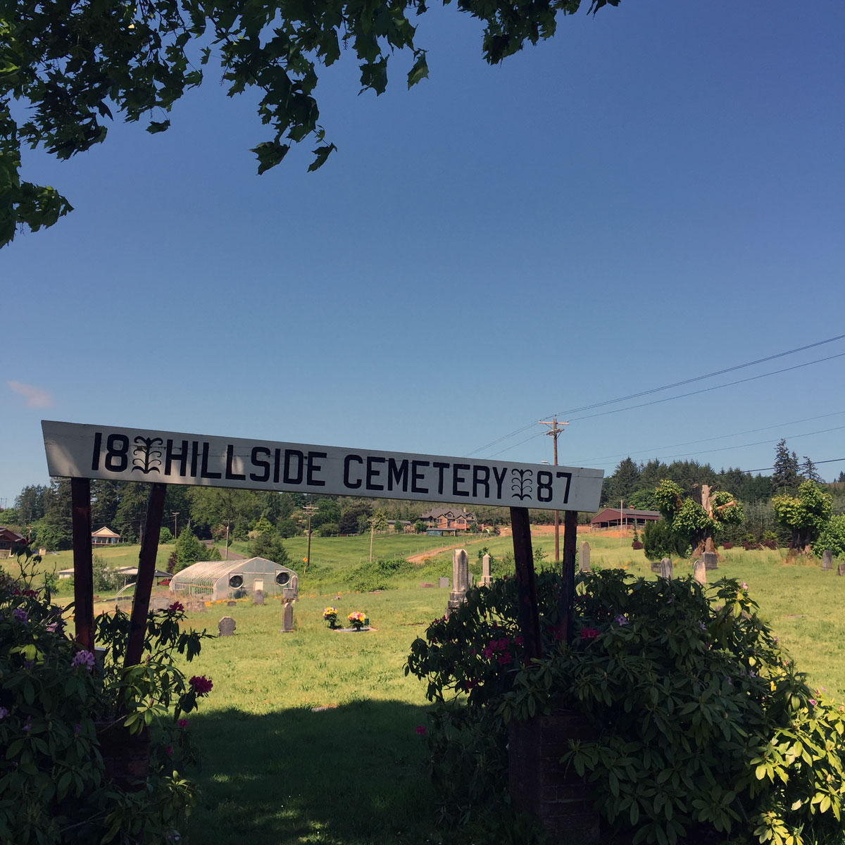
Pioneer Cemetery (mile 38)
On Clapshaw Hill rd, a small Pioneer cemetery since 1887, with a great view of the hills to the South.
Pre Timber Stop (mile 42)
Might be wise to note this stop. You may need this depending on temperature of your ride and other stops you have taken. On Hwy 47, just after Gales Creek, area there is an Esso gas station at the left side of the road. Pretty basic offerings snack and liquids. This will get you through to Vernonia.
Timber (mile 51)
A quaint single-stop-sign town. Unincorporated just over 100 people live here, No services. Quintessential post office and fire station worthy of pictures.
Vernonia (mile 66)
This small town incorporated in 1876 and should have been “Vernona”, but a clerical error added the i. Now Vernonia, logging had a large impact on this town and now the farming community has about 2000 residents.
Tons of options here for food, there are a few sit down cafes, a grocery market and a gas station. The popular sit down place with cyclists is the Black Iron Grill on the main street. Bike racks are there and a ton of outdoor seating. On a ride like this I prefer to eat the inexpensive high fat, high carb from the hot case of the gas station. Also on Main Street,a little further down, they welcome cyclists and have tables and large glass windows so if you are solo you can easily see your bike.
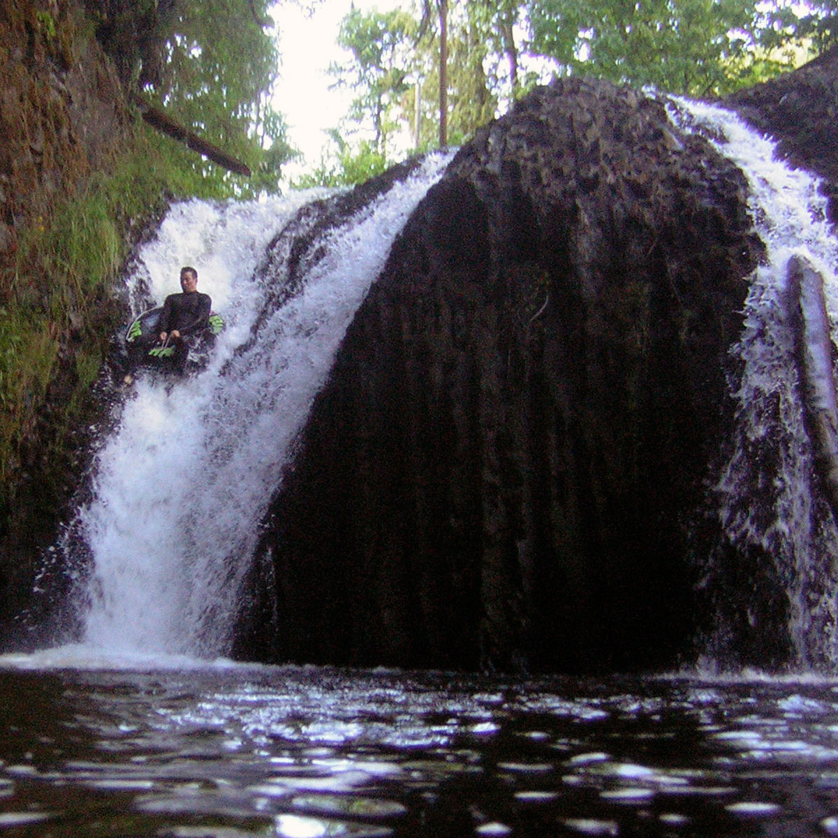
Bonnie Falls (mile 88)
Just to the side of the road, surrounded by rock face is a small man made waterfall. A good point to pull off and eat a snack or check the map.
Pre Scappoose Stop (mile 90.5)
Tucked in on the right hand side on the descent of highway 47 right before coming to Scappoose there is Sacappoose Market, I have stopped here a few times, but I prefer to keep my bike momentum and roll through to the next stop in Scappoose
Scappoose (mile 92)
With about 7,000 people, Scappoose is a small town based along the busy highway – US30 that runs to St Helens. The bike ride route goes past many places to stop and grab supplies from gas stations to supermarkets. I tend to make a quick stop at the Chevron station at mile marker 92.6, fast and easy for my purposes.
My Ride & Gear
It was 58 degrees and windy when I rode this, I was a little chilly and fighting wind at times, I felt like I was burning a lot of calories. No rain all dry, breaks of sun where I took pictures but somewhat overcast for the rest of the time.
Road Conditions
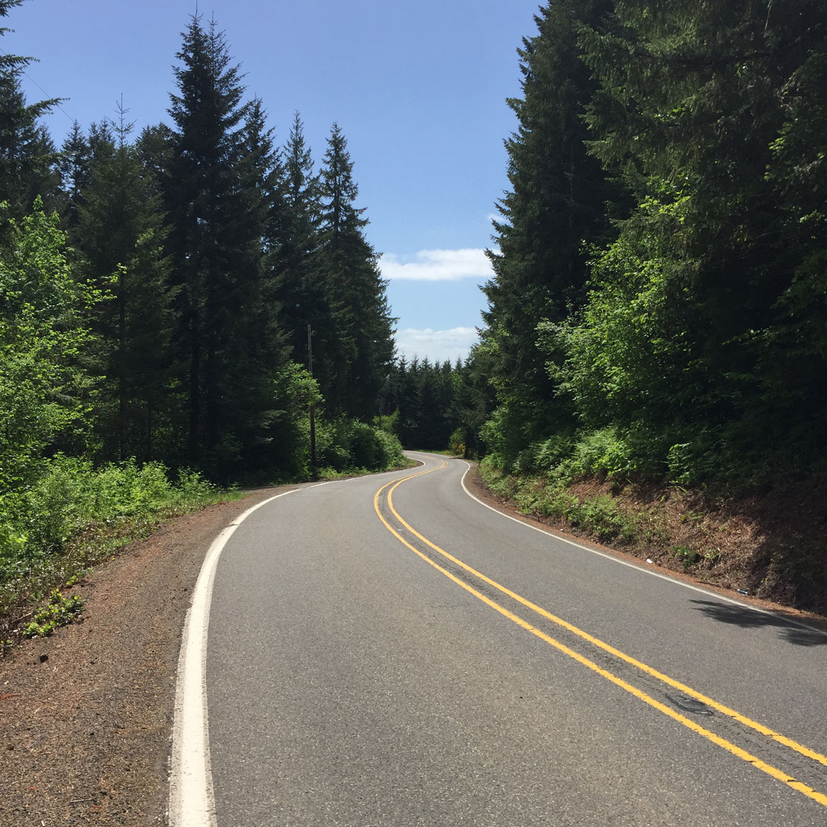
All smooth pavement, other than 0.2 miles of gravel, a little larger than pea gravel. This can easiliy be navigated around if you don’t want to tackle. The majority of the roads are lower traffic, some with minimal shoulder and the only higher traffic road has a very wide shoulder. Traffic has never been an issue on this route.
Food
Carried with me 2 Probar Meals, 1 peanut butter and grape jelly sandwich, 1 bag of Probar blocks, 1 Probar Bar
Eaten in Vernonia – fresh from the hot case: 1 Fried beef and bean burrito, 1 fried bean and cheese burrito, 1 serving of potatoe jo ho’s
Water
2 20oz bottles on the bike with Skratchlabs mix. Refill for water in Vernonia added Skratchlabs, 1 can of coke in Vernonia, 1 bottle drunk while eating
Other
1 flat tyre, 1 failing valve stem
Discover more from Buckyrides
Subscribe to get the latest posts sent to your email.

Leave a Reply